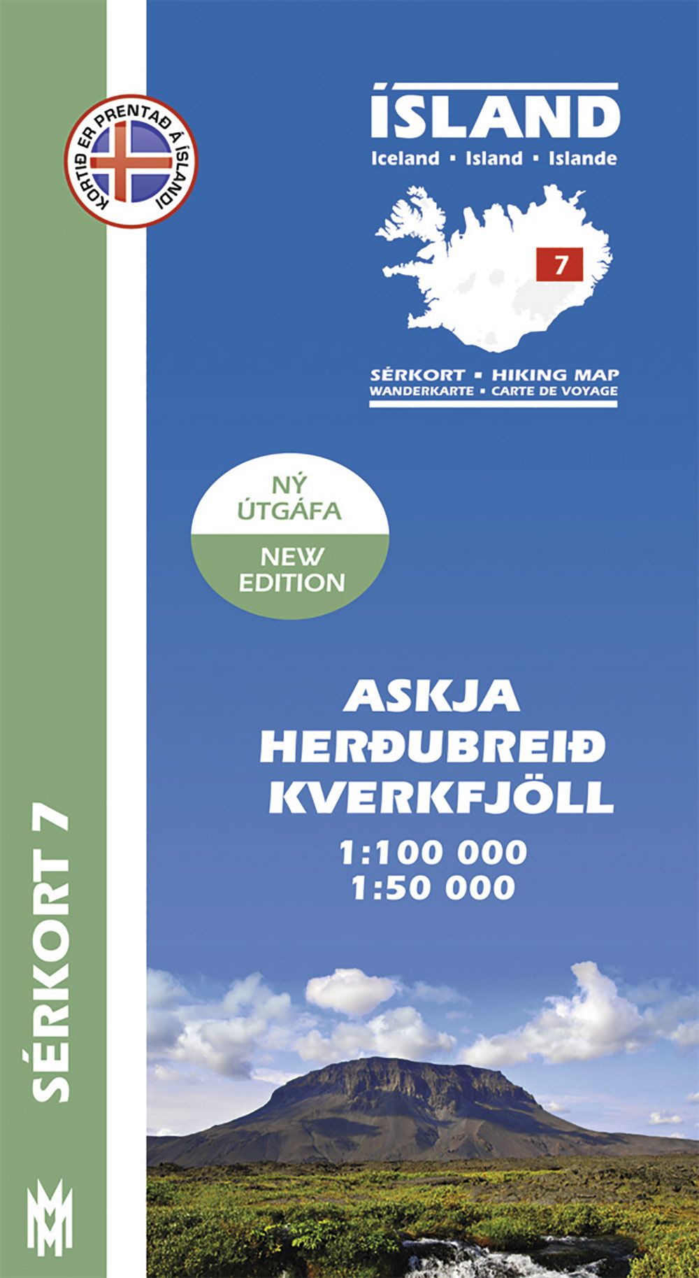
Sérkort 7, Askja, Herðubreið, Kverkfjöll 1:100.000 online
Original price was: €23,90.€7,17Current price is: €7,17.
Description
A quality hiking map (1: 100 000) that reaches from Askja in the west to Snaefell in the east. The map includes all hiking- and driving routes of the area, along with place names and other useful information. On the reverse side you will find a map of Askja and Herdubreid (1: 50 000) with descriptions and photographs of the area‘s main attractions. The map features drawings by Jón Baldur Hlíðberg. All text is in Icelandic, English, German and French.
| Gewicht: | 85 g |
|---|---|
| Verlag: | Mal og menning |
| Reihe: | Island – Sérkort |
| Maßstab: | 1:100.000 |
| Medienart: | Karten |
| Sprache: | Deutsch, Englisch, Französisch, Isländisch |
| EAN: | 9789979330387 |
| Höhe in mm offen: | 700 |
| Erscheinungsjahr: | 2015 |
| Kontinent: | Europa |
| Land: | Island |
| Region: | Isländisches Hochland |

Reviews
There are no reviews yet.