

Anavasi Topo Island Map 10.21, Ándros 1:27.000 jetzt online
Original price was: €9,90.€2,97Current price is: €2,97.
Description
A walking and cycling map of Andros at a scale of 1:27.000 has been published in collaboration with the local Andros Routes group which has undertaken the opening, maintenance and marking of the paths. Includes tables with all marked routes. On the map you will find many beautiful routes that cross the island from one end to the other. At the same time it contains all the beaches, settlements, churches and attractions.
Andros is a large island (374 sq km or 147 sq miles), mountainous, with rich vegetation in several parts of the island and abundant running water, as testified by more than 150 watermills. Chora, the main settlement of Andros, has many neoclassical houses, an interesting archaeological museum, and a particularly active museum of modern art that hosts interesting exhibitions every year.
Printed on PolyArt paper, a waterpoof paper ideal for hiking
| Gewicht: | 90 g |
|---|---|
| Verlag: | Anavasi |
| Reihe: | Anavasi Topo Islands |
| Maßstab: | 1:27.000 |
| Medienart: | Karten |
| Sprache: | Deutsch, Englisch, Französisch, Italienisch, Neugriechisch |
| EAN: | 9789608195745 |
| Erscheinungsjahr: | 2024 |
| Kontinent: | Europa |
| Land: | Griechenland |
| Region: | Kykladen, Griechische Inseln, Ägäis |
| Orte / Berge / Seen: | Andros |
Related products
-
Sale!
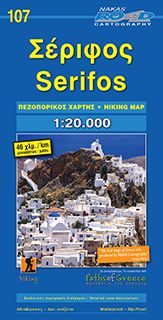
Road Hiking Map 107, Sérifos 1:20.000
Original price was: €9,90.€2,97Current price is: €2,97. -
Sale!
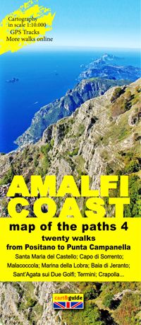
Zephiro Cart & Guide 4, Amalfi Coast/Amalfiküste 1:10.000 online
Original price was: €8,90.€2,67Current price is: €2,67. -
Sale!
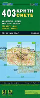
Road Editions Map Kreta 403, Psilorítis, Iráklio 1:50.000 Räumungsverkauf
Original price was: €9,90.€2,97Current price is: €2,97. -
Sale!
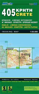
Road Editions Map Kreta 405, Ágios Nikólaos 1:50.000
Original price was: €9,90.€2,97Current price is: €2,97.
Reviews
There are no reviews yet.