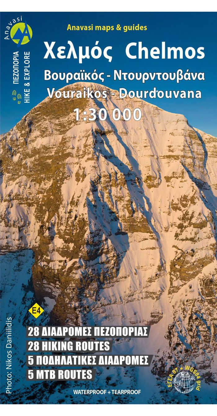
Anavasi Topo 30 Map 8.2, Mt. Chelmós, Vouraikós 1:30.000
Original price was: €10,90.€3,27Current price is: €3,27.
Description
Hiking map for mount Chelmos in scale 1:30.000
Updated hiking map of Chelmos (or Helmos) in a scale of 1:30.000, the highest peak in Achaia (2355 m). The map covers the area in Northern Peloponnese from Lake Tsivlos and from the forests of Zarouchla to the gorge of the Styx; from the source of the river Aroanios (Aroania being the ancient name of mount Chelmos), ancient Klitoria and the Cave of the Lakes to the remains of ancient Lousii; from the fertile farmlands of the Kerinitis valley to the panoramic view of Mt Klokos – all around the visitor unfolds a landscape rich in its beauty and its history.
If you want to do something difficult try the South Ridge of Chelmos.
| Gewicht: | 85 g |
|---|---|
| Verlag: | Anavasi |
| Reihe: | Anavasi Topo 25 |
| Maßstab: | 1:30.000 |
| Medienart: | Karten |
| Sprache: | Englisch, Neugriechisch |
| EAN: | 9789608195332 |
| Erscheinungsjahr: | 2025 |
| Kontinent: | Europa |
| Land: | Griechenland |
| Region: | Peloponnes |
| Orte / Berge / Seen: | Kalávryta, Chelmós, Vouraikós-Schlucht, Peristéra, Diakoptó, Dáras, Klitoría, Saitás |

Reviews
There are no reviews yet.