View cart “Wanderkarte Toubkal & Marrakech 1:50.000” has been added to your cart.
Showing 13–18 of 18 results
-
Sale!
€10,90 Original price was: €10,90.€3,27Current price is: €3,27.
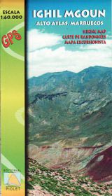
Gewicht: 60 g Verlag: Piolet Reihe: Editorial Piolet Hiking Maps Morocco Maßstab: 1:60.000 Medienart: Karten Sprache: Englisch, Französisch, Spanisch EAN: 9788415075349 Erscheinungsjahr: 2011 Kontinent: Afrika Land: Marokko Region: hoher atlas Orte / Berge / Seen: Ighil Mgoun, Abachkou, Ghougoult, Amezri, Amaskar, Tabant
-
Sale!
€14,90 Original price was: €14,90.€4,47Current price is: €4,47.
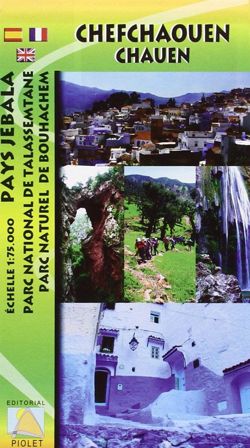
Escala 1:75.000 Soporte: impreso en papel. Mapa de la zona norte de Marruecos que abarca el P N de Talassemtane y el P N de Bouhachem, ambos con una gran biodiversidad. La ciudad de Chauen, situada en el centro del mapa, es uno de los pincipales atractivos de esta zona y punto de partida de…
-
Sale!
€21,90 Original price was: €21,90.€6,57Current price is: €6,57.
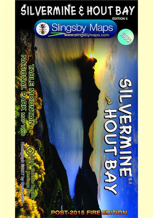
Gewicht: 45 g Verlag: Slingsby Reihe: Slingsby Hiking Maps Maßstab: 1:20.000 Medienart: Karten Sprache: Englisch EAN: 9781920377298 Erscheinungsjahr: 2017 Kontinent: Afrika Land: Südafrika Bundesland / Provinz: Westkap Region: Kap-Halbinsel, Südafrika
-
Sale!
€18,90 Original price was: €18,90.€5,67Current price is: €5,67.
Verlag: Infomap Department of Survey and Landinformation New Zealand Maßstab: 1:160.000 Medienart: Karten Sprache: Englisch EAN: 9780620415033 Erscheinungsjahr: 2017 Kontinent: Afrika Land: Tansania Region: Ostafrika Orte / Berge / Seen: kilimandscharo
-
Sale!
€14,90 Original price was: €14,90.€4,47Current price is: €4,47.
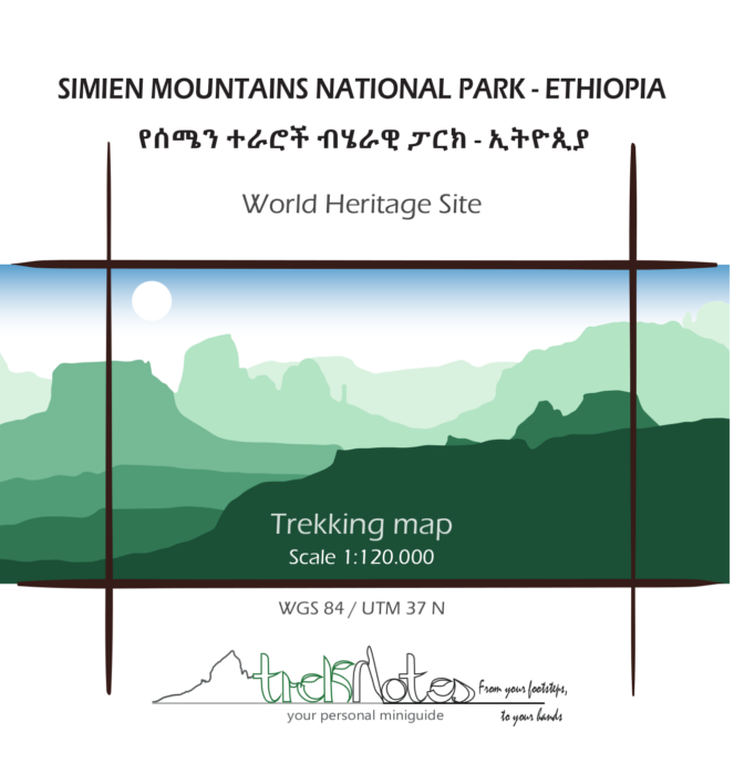
World Heritage Site Trekking map and illustrated miniguide on the back of the map with dotted cells to take notes. Information and anecdotes on landscape, flora&fauna, history and culture. Tips and curiosities. 8 itineraries proposed, including Mount Ras Dejen and Jimbar Falls. Trekking map WGS 84 / UTM 37 N, scale 1:120.000, Size: open 50×70…
-
Sale!
€12,90 Original price was: €12,90.€3,87Current price is: €3,87.
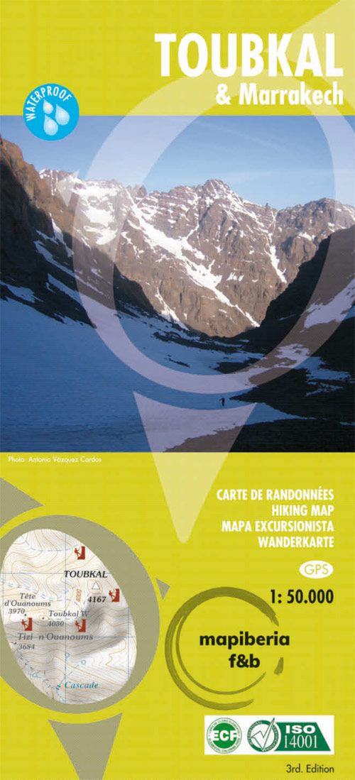
Carte de randonnées – hiking map – mapa excursionista – Wanderkarte waterproof Auflage: 2018A detailed, accurate and up-to-date trekking map of Jebel Toubkal in the High Atlas mountains of Morocco, the highest peak in North Africa and a popular trekking destination. The 1:50,000 topographic map detail includes contours at 20m intervals, hill-shading, woodland and scrub…
