

Walking the Hebridean Way
Original price was: €25,90.€7,77Current price is: €7,77.
Description
Launching in 2017, the Hebridean Way offers walkers the opportunity to experience the magic of Scotland’s Outer Hebrides in one inspirational journey. The waymarked route stretches 247km (155 miles) from Vatersay to Stornaway, linking ten major islands of the archipelago by means of causeways and two ferry crossings: Vatersay, Barra, Eriskay, South Uist, Benbecula, Grimsay, North Uist, Berneray, Harris and Lewis. Suitable for most walkers with a moderate level of fitness, it can be completed in 8–14 days and is rich in natural, historical and cultural interest.
This guidebook presents the Hebridean Way in 10 stages of 16–35km (10–22 miles), plus two additional stages to extend the route to the Butt of Lewis in line with future plans. Detailed route description is accompanied by 1:50,000 OS mapping, stunning photography to whet your appetite and a wealth of information about local points of interest. The introduction offers an overview of the islands‘ geology, history, plants and wildlife as well as comprehensive practical advice for walking the route, such as when to go, how to get there (and back) and what to take. Accommodation listings can be found in the appendices.
The route is a celebration of the diverse landscapes of the Hebrides, from dazzling white shell beaches to wild moorland and flower-strewn machair. It visits Neolithic and Bronze Age remains, ruined forts and castles and monuments commemorating Bonnie Prince Charlie and the Highland Land Struggle. The islands are also a great location to spot seabirds, raptors and a number of migratory species. Informative and inspiring, Richard Barrett’s guidebook is an ideal companion to discovering this captivating route.
Guidebook to the Hebridean Way, a 155-mile (247km) trail across 10 of Scotland’s Outer Hebrides islands. This waymarked, multi-day route is ideal for a fortnight’s exploration, using mostly low-level paths and crossing a variety of terrain, from dazzling white shell beaches to rugged hills and wild moors.
- The official waymarked route starts in Vatersay in the south and finishes at Stornoway in the north, via Barra, Eriskay, South Uist, Benbecula, Grimsay, North Uist, Berneray, Harris and Lewis
- 10 daily stages of 10–22 miles (16–35km) in length, with optional 30-mile (48km) extension from Stornoway to the Butt of Lewis, which takes two days
- Clear route descriptions with 1:50,000 maps and details of refreshments, public transport and accommodation
- Includes notes on geology, history, plants and wildlife, and a glossary of Gaelic and Norse placenames
- GPX files available for download
| Gewicht: | 240 g |
|---|---|
| Autor: | Richard Barrett |
| Verlag: | Cicerone |
| Reihe: | A Cicerone Guide |
| Medienart: | Bücher |
| Sprache: | Englisch |
| EAN: | 9781852847272 |
| Seiten: | 192 |
| Höhe in mm: | 172 |
| Breite in mm: | 116 |
| Erscheinungsjahr: | 2017 |
| Kontinent: | Europa |
| Land: | Vereinigtes Königreich (Großbritannien) |
| Bundesland / Provinz: | Schottland |
| Region: | hebriden, Äußere Hebriden, Lewis und Harris |
| Orte / Berge / Seen: | Tarbert, Barra, North Uist, South Uist, Vatersay, Stornoway, Butt of Lewis, Lochmaddy, Leverburgh, Castlebay, Eriskay |
Related products
-
Sale!
-
Sale!
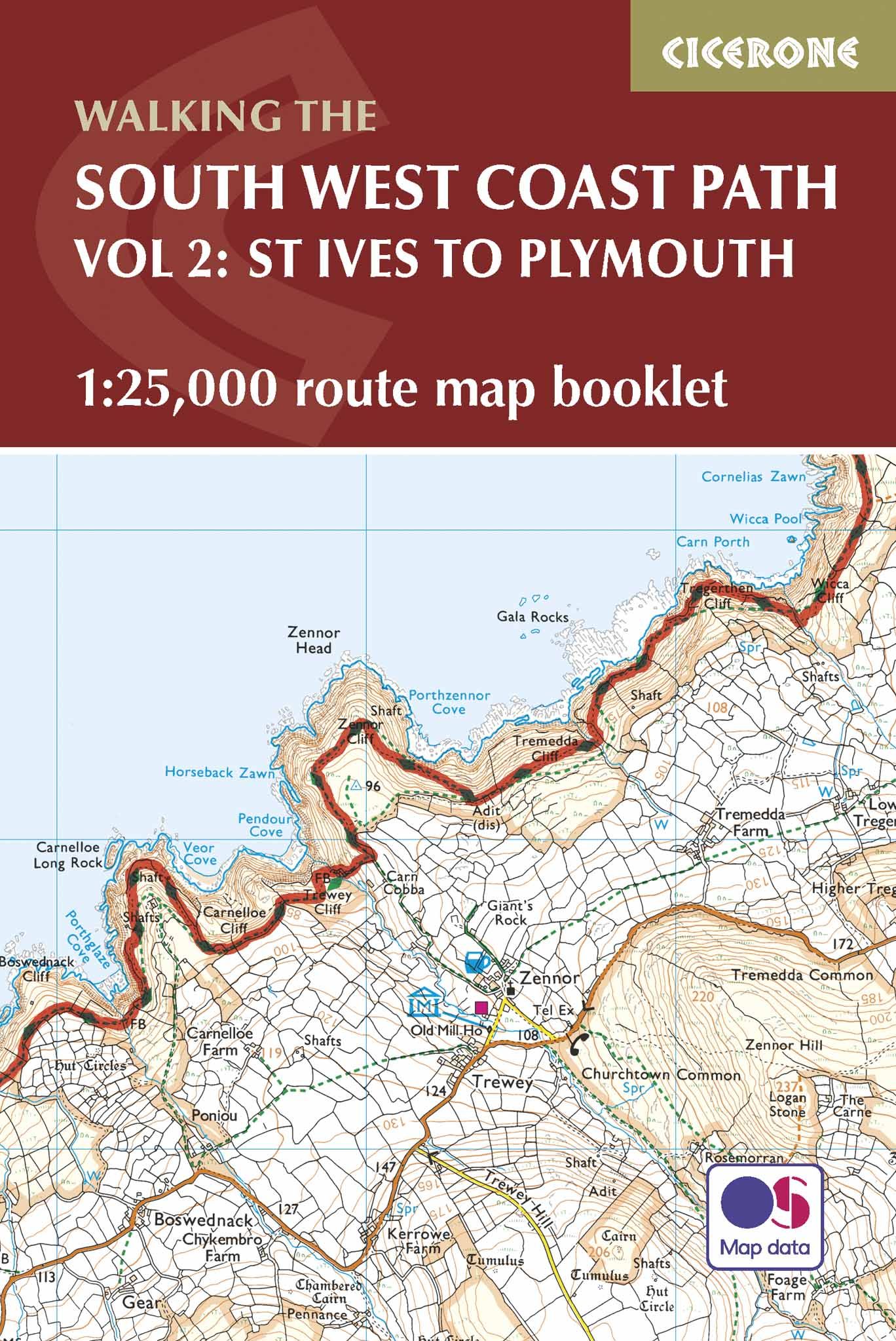
Cicerone Map Booklet Großbritannien – Walking the South West Coast Path, Band 2, 1:25.000
Original price was: €19,90.€5,97Current price is: €5,97. -
Sale!

Forststeigführer Trekking in der Sächsisch-Böhmischen Schweiz
Original price was: €27,90.€8,37Current price is: €8,37. -
Sale!
Kammwegführer vom Jeschken zum Rosenberg Angebot
Original price was: €27,90.€8,37Current price is: €8,37.
Reviews
There are no reviews yet.