

Turkart 2812, Vesterålen, Hinnøya Nord 1:100.000
Original price was: €29,90.€8,97Current price is: €8,97.
Description
Reiseziele: Alsvåg, Anda, Andenes, Andfjorden, Andøya, Bleik, Borkenes, Durmålstinden, Gavlfjorden, Grytøya, Grøtavær, Harstad, Myre, Risøyhamn, Skogsøya, Skrolsvik, Snøkolla, Sørvika, Vesterålen, Vågsfjorden
The Vesterålen Trail Map – Hinnøya North ranges from Andøya in the north to the northern part of Hinnøya in the south, with Harstad to the very east on the map. Andøya is known for its broad cloudberry marshes, but also for its steep mountains reaching 700 meters in height. Near Harstad, on the northeast part of Hinnøya, the terrain is not as alpine as it is further south, but more “foot-friendly”.
The Vesterålen Trail Map – Hinnøya North ranges from Andøya in the north to the northern part of Hinnøya in the south, with Harstad to the very east on the map. Andøya is known for its broad cloudberry marshes, but also for its steep mountains reaching 700 meters in height. Near Harstad, on the northeast part of Hinnøya, the terrain is not as alpine as it is further south, but more “foot-friendly”.
Hier geht’s zum der Nordeca-Karten.
| Gewicht: | 54 g |
|---|---|
| Verlag: | Nordeca |
| Reihe: | Turkart 1:100.000 |
| Maßstab: | 1:100.000 |
| Medienart: | Karten |
| Sprache: | Englisch, Norwegisch |
| EAN: | 7046660028124 |
| Höhe in mm: | 210 |
| Breite in mm: | 145 |
| Höhe in mm offen: | 700 |
| Breite in mm offen: | 145 |
| Erscheinungsjahr: | 2015 |
| Kontinent: | Europa |
| Land: | Norwegen |
| Region: | vesteralen |
| Orte / Berge / Seen: | Hinnøya, Andøya |
Related products
-
Sale!
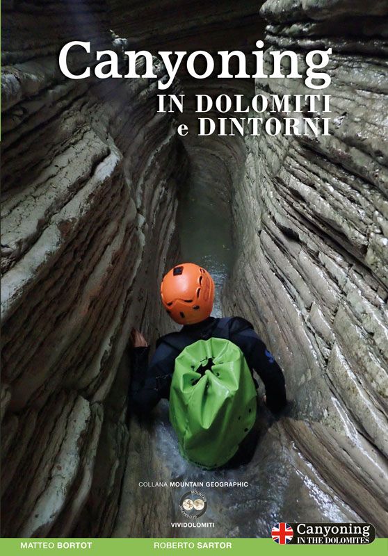
Canyoning in Dolomiti e dintorni Jetzt im Trend!
Original price was: €34,90.€10,47Current price is: €10,47. -
Sale!

Eiskletterführer Bregenz bis Garmisch
Original price was: €39,80.€11,94Current price is: €11,94. -
Sale!

-
Sale!
Reviews
There are no reviews yet.