

OS Landranger Map 114, Anglesey/Ynys Môn 1:50.000 Stark reduziert
Original price was: €19,90.€5,97Current price is: €5,97.
Description
The Landranger map of Anglesey/Ynys Môn is a must-have for your next trip to the area. Landranger maps are perfect for extensive hikes, cycling, and driving holidays.
Ideal for planning days out or holidays to the rural Welsh island of Anglesey; surrounded by sandy beaches and rocky caves, with stunning agriculture inland.
Anglesey caters brilliantly for tourists with a wide choice of accommodation and things to see and do. Take a trip to the largest town on the island, Holyhead — a bustling ferry port with excellent fishing, golfing, and sailing facilities.
Our Landranger maps come in standard or Weatherproof Active, you’ll also receive a free download for your devices — making for a convenient companion.
| Gewicht: | 110 g |
|---|---|
| Verlag: | Ordnance Survey UK |
| Reihe: | OS Landranger |
| Maßstab: | 1:50.000 |
| Medienart: | Karten |
| Sprache: | Englisch |
| EAN: | 9780319262122 |
| Kontinent: | Europa |
| Land: | Vereinigtes Königreich (Großbritannien) |
| Bundesland / Provinz: | Wales |
| Region: | Irische See, Anglesey |
| Orte / Berge / Seen: | Bangor (Wales), Holyhead, Caernarfon, Menai Bridge, The Skerries, Amlwch |
Related products
-
Sale!
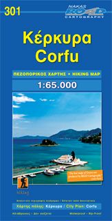
Road Hiking Map 301, Corfu/Korfu 1:65.000 Online-Verkauf
Original price was: €9,90.€2,97Current price is: €2,97. -
Sale!
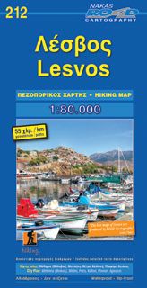
Road Hiking Map 212, Lésvos / Lesbos 1:80.000
Original price was: €8,90.€2,67Current price is: €2,67. -
Sale!
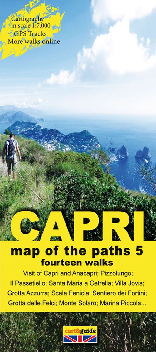
Zephiro Cart & Guide 5, Capri 1:7.000 Online-Verkauf
Original price was: €8,90.€2,67Current price is: €2,67. -
Sale!
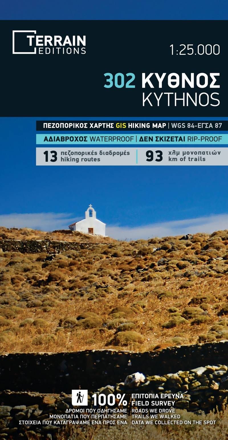
Terrain Map 302, Kýthnos 1:25.000 Begrenzte Stückzahl
Original price was: €11,90.€3,57Current price is: €3,57.
Reviews
There are no reviews yet.