

Kartografija-Wanderkarte Julijske Alpe/Julische Alpen 1:50.000 Stark reduziert
Original price was: €11,90.€3,57Current price is: €3,57.
Description
The mountain map of the Julian Alps in the scale of 1: 50.000 is intended for hikers. The map is equipped with GPS coordinates, printed on a waterproof basis, it is very resistant and does not square! On the reverse side there is information and photos of mountain huts. The map contains all information about mountain routes, accesses, attractions, mountain huts, direction of view. The map is stored in a PVC cover.
| Gewicht: | 72 g |
|---|---|
| Verlag: | Kartografija Slovenija |
| Reihe: | Kartografija 1:50.000 |
| Maßstab: | 1:50.000 |
| Medienart: | Karten |
| Sprache: | Englisch, Slowenisch |
| EAN: | 3830048523752 |
| Erscheinungsjahr: | 2023 |
| Kontinent: | Europa |
| Land: | Slowenien, Italien |
| Bundesland / Provinz: | Friaul-Julisch Venetien |
| Region: | Julische Alpen, socatal, Oberkrain |
| Orte / Berge / Seen: | Mangart, Bohinj, Triglav, Kranjska Gora, Jesenice, Bovec, Trenta, Krn, Kanin, Montasch, Wischberg, Bled, Kobarid, Stol, Mojstrana, Weißenfelser Seen, Passo del Predil, Ratece, Bohinjska Bistrica, Resiatal, Bohinjska Bela, Vrsic-Pass |
Related products
-
Sale!
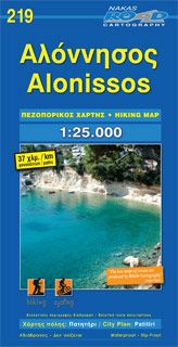
Road Hiking Map 219, Alónissos 1:25.000 Online-Ausverkauf
Original price was: €8,90.€2,67Current price is: €2,67. -
Sale!
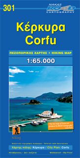
Road Hiking Map 301, Corfu/Korfu 1:65.000 Online-Verkauf
Original price was: €9,90.€2,97Current price is: €2,97. -
Sale!
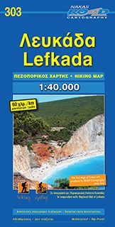
Road Hiking Map 303, Lefkáda 1:40.000 Begrenzte Stückzahl
Original price was: €9,90.€2,97Current price is: €2,97. -
Sale!
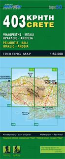
Road Editions Map Kreta 403, Psilorítis, Iráklio 1:50.000 Räumungsverkauf
Original price was: €9,90.€2,97Current price is: €2,97.
Reviews
There are no reviews yet.