

Anavasi Topo Map 100.93, Iráklio, Réthimno (Kreta) 1:100.000 Angebot
Original price was: €10,90.€3,27Current price is: €3,27.
Description
The most popular map of the successful series of touring maps of Crete in a scale of 1:100,000 maps covering Irakleio and Rethymno prefectures with great detail. Small additions and updating of road network and a short presentation of 10 Top points of interest of the map area.
Also, it includes all tourist attractions, castles, monasteries, churches, beaches, rivers and significant paths. The map covers the area between Georgioupoli to Malia.
On the reverse side of the map a complete index of the settlements. The map is printed on waterproof and durable Polyart paper and comes with a cardboard folder
Topographische Wanderkarte zum mittleren Teil von Kreta im Maßstab 1:100.000; Legende: Deutsch, Englisch, Französisch, Griechisch.
Die Karten des Athener Verlags Anavasi gelten derzeit als die besten für Griechenland erhältlichen Karten zum Wandern, Radfahren und für sonstigen Outdoor-Sport.
One of the three maps of the successful series of touring maps of Crete in a scale of 1:100.000 maps covering the whole island with great detail. Small additions and updating of road network, the new municipalities and some visual touches (palette relief and cover). On the reverse side of the map fully indexed settlements and cardboard folnter presentation of 10 Top points of interest on the map.
| Gewicht: | 84 g |
|---|---|
| Verlag: | Anavasi |
| Reihe: | Anavasi Topo 100 |
| Maßstab: | 1:100.000 |
| Medienart: | Karten |
| Sprache: | Deutsch, Englisch, Französisch, Neugriechisch |
| EAN: | 9789608195806 |
| Erscheinungsjahr: | 2019 |
| Kontinent: | Europa |
| Land: | Griechenland |
| Region: | Kreta, Zentralkreta |
| Orte / Berge / Seen: | Réthymno, Psilorítis, Zarós, Anógia, Kédros, Kamáres, Mátala, Ágioi Déka, Nída-Hochebene, Amári, knossos, Agia Galini, Iraklio, Plakias, Preveli |
Related products
-
Sale!
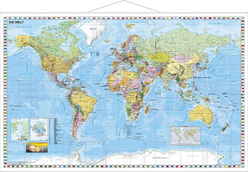
Weltkarte politisch mit Metallleisten 1:46.000.000. Räumungsverkauf
Original price was: €17,90.€5,37Current price is: €5,37. -
Sale!
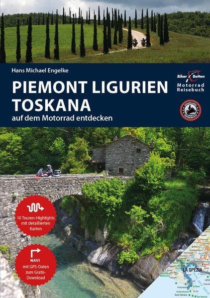
Motorrad Reiseführer Piemont Ligurien Toskana
Original price was: €22,95.€6,89Current price is: €6,89. -
Sale!
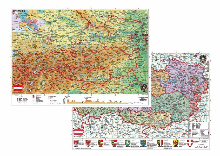
Österreich politisch/physisch DUO-Schreibunterlage Rabatt
Original price was: €13,50.€4,05Current price is: €4,05. -
Sale!
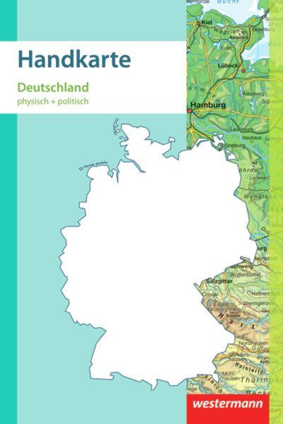
Handkarte Deutschland physisch + politisch 1:2.000.000 Räumungsverkauf
Original price was: €2,90.€0,87Current price is: €0,87.
Reviews
There are no reviews yet.