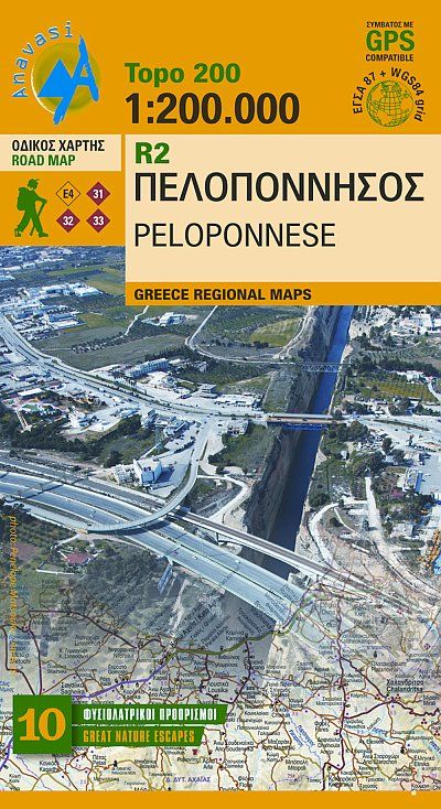
Anavasi R2 Topo 200 Map Peloponnese/Peloponnes 1:200.000 Online-Verkauf
Original price was: €11,90.€3,57Current price is: €3,57.
Description
Greece Regional Maps The new edition of the map of the Peloponnesus comes with many improvements. The larger scale makes it much more readable and reveals the detailed information of the map:
Extensive road and settlements network. Plenty of archaeological sites published for the first time on a map. Beaches, camping, marinas, mountain refuges and the course of the E4 and the major national paths 31, 32 and 33. ISBN: 978-960-8195-639
Extensive road and settlements network. Plenty of archaeological sites published for the first time on a map. Beaches, camping, marinas, mountain refuges and the course of the E4 and the major national paths 31, 32 and 33. ISBN: 978-960-8195-639
| Gewicht: | 86 g |
|---|---|
| Verlag: | Anavasi |
| Reihe: | Anavasi Topo 250 |
| Maßstab: | 1:200.000 |
| Medienart: | Karten |
| Sprache: | Deutsch, Englisch, Französisch, Neugriechisch |
| EAN: | 9789608195639 |
| Erscheinungsjahr: | 2024 |
| Kontinent: | Europa |
| Land: | Griechenland |
| Region: | Peloponnes, Mani, Ägäis, Messenien |
| Orte / Berge / Seen: | Kalamata, Hydra, Pátras, Náfplio, Spétses, Sparta, Pýlos, Gýthio, Megalópoli, Korinth, Kanal von Korinth, Pýrgos |


Reviews
There are no reviews yet.