

4Land-Karte 139, Gruppo di Brenta/Brentagruppe 1:25.000 Blitzverkauf
Original price was: €13,90.€4,17Current price is: €4,17.
Description
Präzise topographische Karte
100% Field Survey – Roads we drove, Trails we walked, Data we collected on the Spot
2 pages/Seiten
Dolomiti di Brenta Trek – Dolomiti di Brenta Bike
Itinerari Sci-Alpinismo/Skitouren
4LAND Map N. 139. The most detailed and updated map of the Gruppo di Brenta; it includes the long-distance trails Dolomiti di Brenta Trek and Bike highlighted: very popular trails for bikers and hikers that stretch around the Brenta. All trails, roads and points of interest were recorded in the field using GPS devices. Reference map for local
Mountain Rescue. It is designed for both, mountainbikers and hikers. It is printed on Polyart, a waterproof, tearproof and reclyble material. The map is printed on both sides.
Map Scale: 1:25.000.
| Gewicht: | 73 g |
|---|---|
| Verlag: | 4Land |
| Reihe: | 4Land 1:25.000 |
| Maßstab: | 1:25.000 |
| Medienart: | Karten |
| Sprache: | Deutsch, Englisch, Italienisch |
| EAN: | 9788889823606 |
| Erscheinungsjahr: | 2018 |
| Kontinent: | Europa |
| Land: | Italien |
| Bundesland / Provinz: | Trentino |
| Region: | Brenta, Nonsberg, Valle dei Laghi |
| Orte / Berge / Seen: | Madonna di Campiglio, Cima Tosa, Cima Brenta, Paganella, Molveno, Mezzolombardo, Lago di Toblino, Monte Gazza, Pinzolo, Andalo, San Lorenzo in Banale, Lago di Tovel, Val d’Ambiez, Vezzano, Stenico, Denno, Val d’Alsone |
Related products
-
Sale!
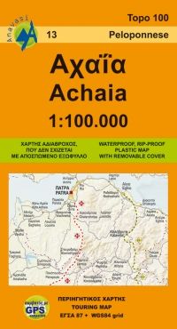
Anavasi Topo Map 100.13, Achaia (Peloponnes) 1:100.000 jetzt online
Original price was: €8,90.€2,67Current price is: €2,67. -
Sale!
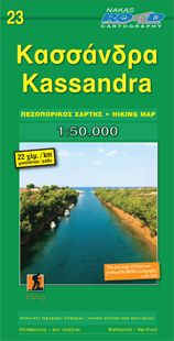
Orama Hiking Map 23, Kassándra 1:50.000 jetzt online
Original price was: €9,90.€2,97Current price is: €2,97. -
Sale!
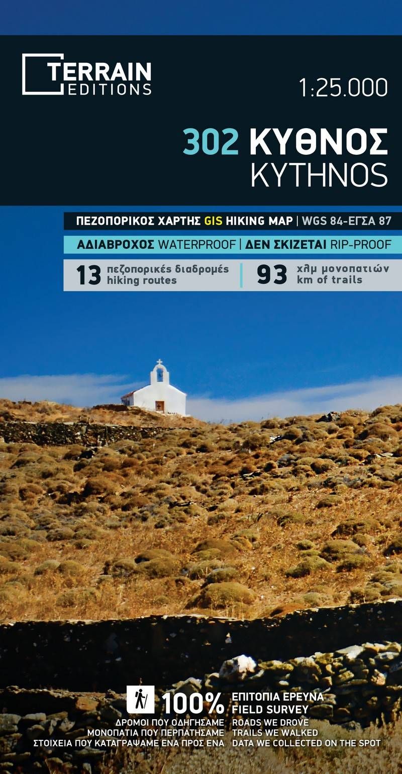
Terrain Map 302, Kýthnos 1:25.000 Begrenzte Stückzahl
Original price was: €11,90.€3,57Current price is: €3,57. -
Sale!
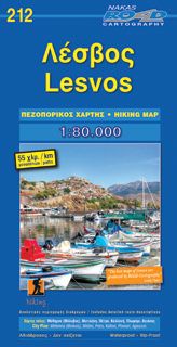
Road Hiking Map 212, Lésvos / Lesbos 1:80.000
Original price was: €8,90.€2,67Current price is: €2,67.
Reviews
There are no reviews yet.