Showing 277–288 of 447 results
-
Sale!
€17,90 Original price was: €17,90.€5,37Current price is: €5,37.
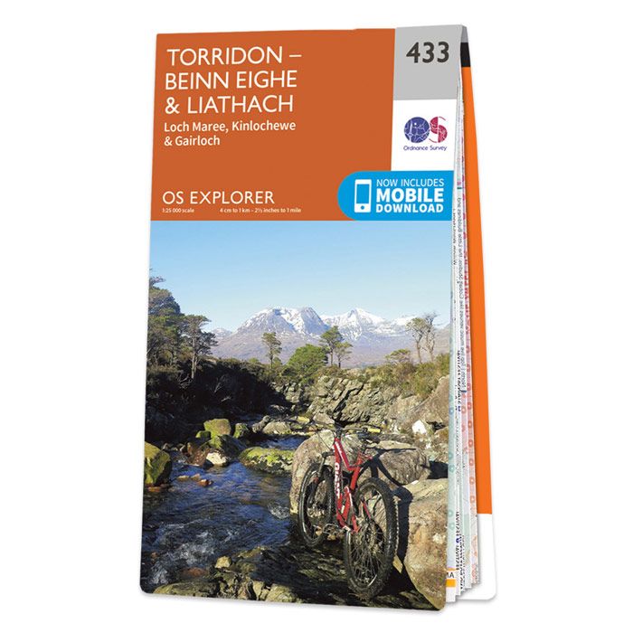
Map of Torridon – Beinn Eighe & Liathach – OS Explorer Map 433 (Loch Maree, Kinlochewe & Gairloch) Gewicht: 100 g Verlag: Ordnance Survey UK Reihe: OS Explorer Maps Maßstab: 1:25.000 Medienart: Karten Sprache: Englisch EAN: 9780319246658 Erscheinungsjahr: 2015 Kontinent: Europa Land: Vereinigtes Königreich (Großbritannien) Bundesland / Provinz: Schottland Region: Highlands, Nordwestliche Highlands Orte /…
-
Sale!
€19,90 Original price was: €19,90.€5,97Current price is: €5,97.
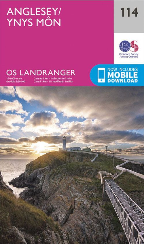
The Landranger map of Anglesey/Ynys Môn is a must-have for your next trip to the area. Landranger maps are perfect for extensive hikes, cycling, and driving holidays. Ideal for planning days out or holidays to the rural Welsh island of Anglesey; surrounded by sandy beaches and rocky caves, with stunning agriculture inland. Anglesey caters brilliantly…
-
Sale!
€19,90 Original price was: €19,90.€5,97Current price is: €5,97.
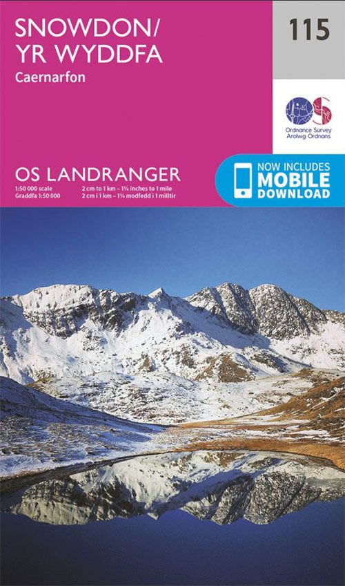
The Landranger Map of Snowdon is the perfect companion for planning your next walking trip or holiday in Northern Snowdonia. This map comes in both English & Welsh and some of its highlights include Bangor, Caernarfon, Anglesey, and of course Snowdon. It contains key information so you can immerse yourself in the beautiful valleys and…
-
Sale!
€19,90 Original price was: €19,90.€5,97Current price is: €5,97.
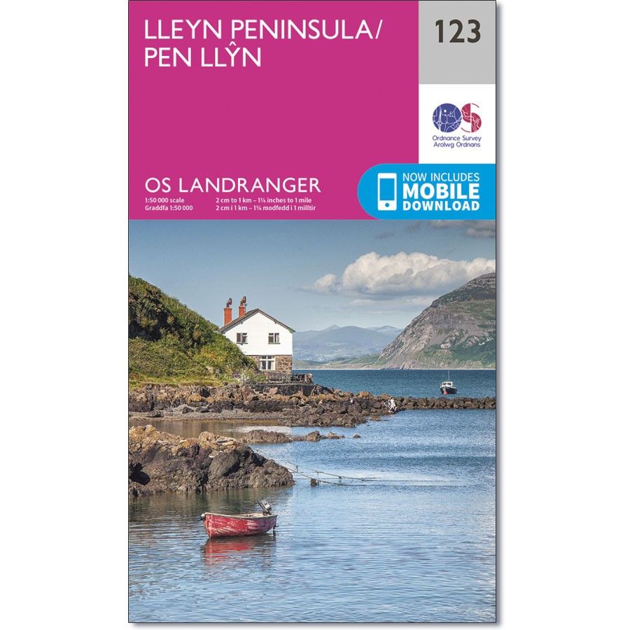
Gewicht: 110 g Verlag: Ordnance Survey UK Reihe: OS Landranger Maßstab: 1:50.000 Medienart: Karten Sprache: Englisch EAN: 9780319262214 Erscheinungsjahr: 2016 Kontinent: Europa Land: Vereinigtes Königreich (Großbritannien) Bundesland / Provinz: Wales Region: Irische See, Lleyn-Halbinsel, Nord-Wales Orte / Berge / Seen: Nefyn, Abersoch, Bardsey Island, Pwllheli
-
Sale!
€19,90 Original price was: €19,90.€5,97Current price is: €5,97.
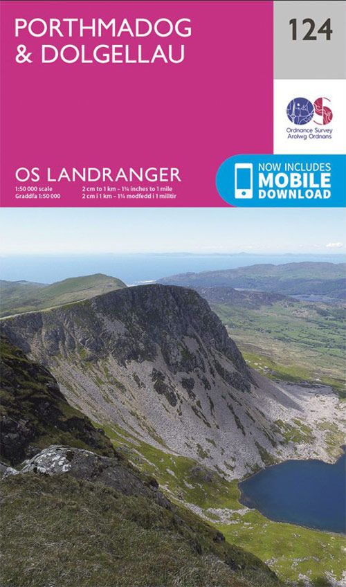
Gewicht: 111 g Verlag: Ordnance Survey UK Reihe: OS Landranger Maßstab: 1:50.000 Medienart: Karten Sprache: Englisch EAN: 9780319262221 Erscheinungsjahr: 2016 Kontinent: Europa Land: Vereinigtes Königreich (Großbritannien) Bundesland / Provinz: Wales Region: Snowdonia, Irische See, Nord-Wales Orte / Berge / Seen: Dolgellau, Porthmadog, Barmouth
-
Sale!
€19,90 Original price was: €19,90.€5,97Current price is: €5,97.
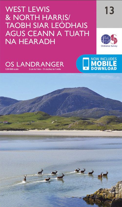
West Lewis & North Harris map – OS Landranger 13 Gewicht: 101 g Verlag: Ordnance Survey UK Reihe: OS Landranger Maßstab: 1:50.000 Medienart: Karten Sprache: Englisch EAN: 9780319261118 Höhe in mm offen: 890 Erscheinungsjahr: 2016 Kontinent: Europa Land: Vereinigtes Königreich (Großbritannien) Bundesland / Provinz: Schottland Region: hebriden, Äußere Hebriden, Lewis und Harris Orte / Berge…
-
Sale!
€19,90 Original price was: €19,90.€5,97Current price is: €5,97.
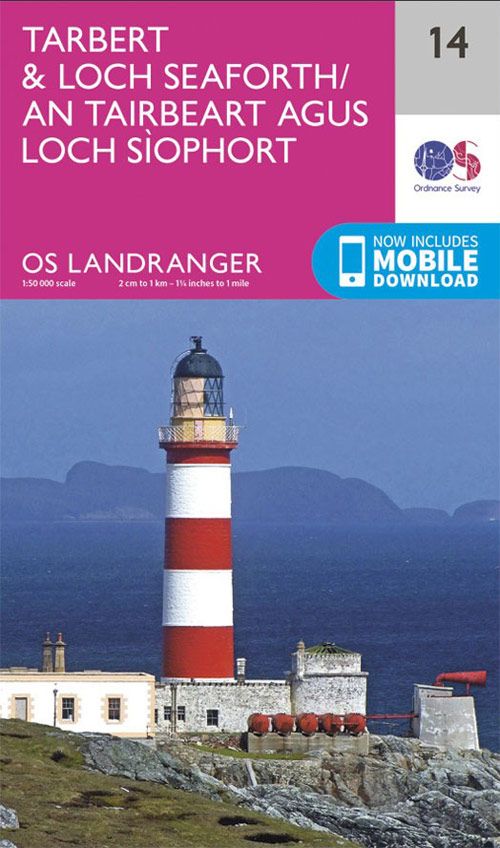
Tarbert & Loch Seaforth map – OS Landranger 14 Gewicht: 99 g Verlag: Ordnance Survey UK Reihe: OS Landranger Maßstab: 1:50.000 Medienart: Karten Sprache: Englisch EAN: 9780319261125 Höhe in mm: 227 Breite in mm: 134 Höhe in mm offen: 890 Breite in mm offen: 134 Erscheinungsjahr: 2016 Kontinent: Europa Land: Vereinigtes Königreich (Großbritannien) Bundesland /…
-
Sale!
€19,90 Original price was: €19,90.€5,97Current price is: €5,97.
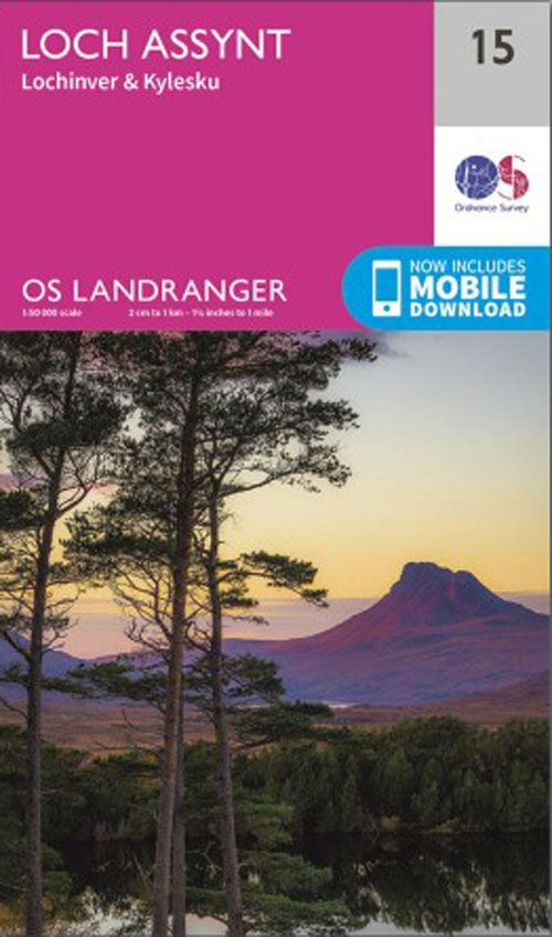
The Landranger map of Loch Assynt, including Lochinver and Kylesku is a must-have for your next trip to the area. Landranger maps are perfect for extensive hikes, cycling, and driving holidays. Ideal for planning days out or holidays In the North West Scottish Highlands, explore the village of Lochinver, take a trip to the remote…
-
Sale!
€19,90 Original price was: €19,90.€5,97Current price is: €5,97.
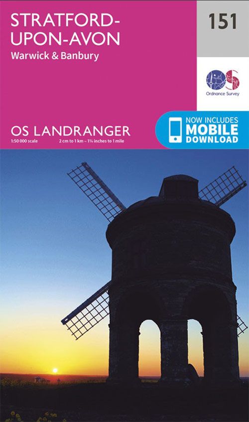
Stratford-upon-Avon (inc. Warwick & Banbury) map – OS Landranger 151 Verlag: Ordnance Survey UK Reihe: OS Landranger Maßstab: 1:50.000 Medienart: Karten Sprache: Englisch EAN: 9780319262498 Erscheinungsjahr: 2016 Kontinent: Europa Land: Vereinigtes Königreich (Großbritannien) Bundesland / Provinz: England Region: Mittelengland, Cotswolds, Oxfordshire, Warwickshire Orte / Berge / Seen: Stratford-upon-Avon, Warwick, Banbury
-
Sale!
€19,90 Original price was: €19,90.€5,97Current price is: €5,97.
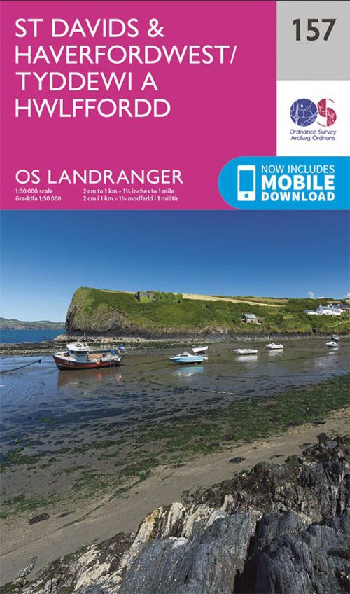
The Landranger map of St Davids & Haverfordwest is a must-have for your next trip to the area. Landranger maps are perfect for extensive hikes, cycling, and driving holidays. Ideal for planning days out or holidays, a strong feature of this map is the Pembrokeshire Coast Path that follows the iconic coastline around the headland…
-
Sale!
€19,90 Original price was: €19,90.€5,97Current price is: €5,97.
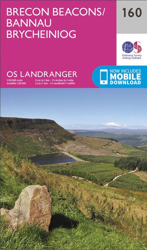
Verlag: Ordnance Survey UK Reihe: OS Landranger Maßstab: 1:50.000 Medienart: Karten Sprache: Englisch EAN: 9780319262580 Erscheinungsjahr: 2016 Kontinent: Europa Land: Vereinigtes Königreich (Großbritannien) Bundesland / Provinz: Wales Region: Wales, Brecon Beacons
-
Sale!

€19,90 Original price was: €19,90.€5,97Current price is: €5,97.
The Landranger map of Cheltenham and Cirencester, including Stow-on-the-wold. Landranger maps are perfect for extensive hikes, cycling, and driving holidays. Ideal for planning days out or holidays to the area, including The Cotswold Way, Thames Path, and the E2 European Long Distance Path. Take a stroll and soak in this Area of Outstanding Natural Beauty….
