Showing 265–276 of 447 results
-
Sale!
€29,90 Original price was: €29,90.€8,97Current price is: €8,97.
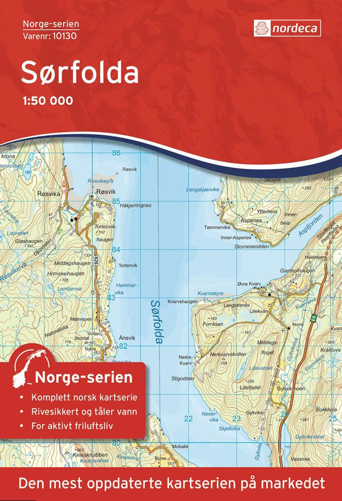
Hier geht’s zum der Nordeca-Karten. Folda, Gasskatjåhkkå, Hjartøya, Kråktindan, Leinesfjorden, Nordfolda, Rago nasjonalpark, Røsvika, Salten, Sjunkhatten, Straumen, Sørfold, SørfoldaDie Karte der Norwegen-Serie Sørfolda im Maßstab 1:50.000 ist auf einem strapazierfähigem, recycelbaren und wasserbeständigen Kunststofffasermaterial gedruckt. Die Karte ist für Wanderer, Jäger und Angler geeignet und wird unter anderem vom Rettungsdienst verwendet. Die Norwegen-Serie ist eine…
-
Sale!
€15,90 Original price was: €15,90.€4,77Current price is: €4,77.
Gewicht: 84 g Verlag: Cordee Maßstab: 1:25.000 Medienart: Karten Sprache: Englisch EAN: 9781908632593 Erscheinungsjahr: 2019 Kontinent: Europa Land: Vereinigtes Königreich (Großbritannien) Bundesland / Provinz: Wales Region: Irische See, Anglesey
-
Sale!
€9,90 Original price was: €9,90.€2,97Current price is: €2,97.
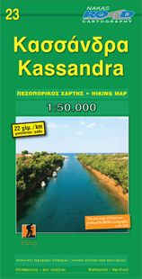
2nd Edition Feb 2018 Form: Folded Map Multi Language: Greek / English / French / German / Italian / Russian / Spanish Scale/Maßstab: 1:50.000 Dimensions/Maße: 120mm x 245mm / 690mm Χ 980mm Weight/Gewicht: 90 gr. Gewicht: 74 g Verlag: Road Editions Reihe: Orama-Wanderkarten Chalkidiki Maßstab: 1:50.000 Medienart: Karten Sprache: Deutsch, Englisch, Französisch, Italienisch, Neugriechisch, Russisch,…
-
Sale!
€9,90 Original price was: €9,90.€2,97Current price is: €2,97.
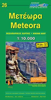
ISBN: 9789605810504 3rd Edition / Feb 2018 Form: Folded Map Multi Language: Greek/Neugriechisch, English/Englisch, French/Französisch, German/Deutsch, Italian/Italienisch, Russian/Russisch, Spanish/Spanisch Scale/Maßstab: 1:10.000 Dimensions/Maße: 120mm x 245mm / 690mm Χ 980mm Weight/Gewicht: 90 gr. Gewicht: 90 g Verlag: Road Editions Maßstab: 1:10.000 Medienart: Karten Sprache: Deutsch, Englisch, Französisch, Italienisch, Neugriechisch, Russisch, Spanisch EAN: 9789605810504 Höhe in mm:…
-
Sale!
€10,90 Original price was: €10,90.€3,27Current price is: €3,27.
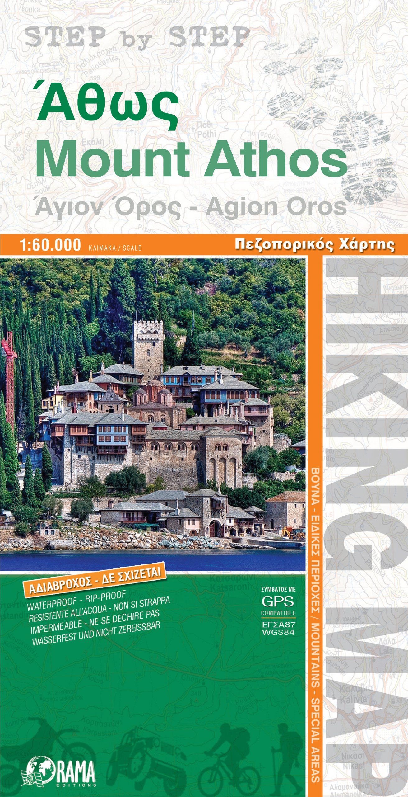
Gewicht: 70 g Verlag: Orama Editions Reihe: Step by Step-Karten Maßstab: 1:60.000 Medienart: Karten Sprache: Englisch, Neugriechisch EAN: 9789604486816 Erscheinungsjahr: 2017 Kontinent: Europa Land: Griechenland Bundesland / Provinz: Mönchsrepublik Áthos Region: Chalkidiki Orte / Berge / Seen: Berg Athos
-
Sale!
€10,90 Original price was: €10,90.€3,27Current price is: €3,27.
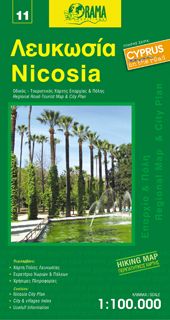
Gewicht: 100 g Verlag: Orama Editions Reihe: Orama Road & Tourist Maps Cyprus Maßstab: 1:100.000 Medienart: Karten Sprache: Deutsch, Englisch, Französisch, Italienisch, Neugriechisch, Russisch EAN: 9789604486687 Erscheinungsjahr: 2015 Kontinent: Europa Land: Zypern Bundesland / Provinz: Nordzypern, Südzypern Region: Tróodos Orte / Berge / Seen: Nikosia, Girne, Kyrenia
-
Sale!
€19,90 Original price was: €19,90.€5,97Current price is: €5,97.
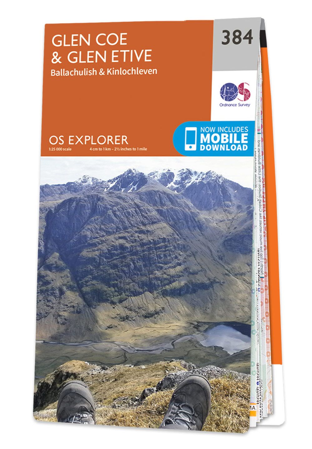
The OS Explorer map of Glen Coe and Glen Etive, including Ballachulish and Kinlochleven, is ideal for planning your next trip to this awe-inspiring place. There is an abundance of opportunity for exploration and adventure with Explorer 384. Check out the 13 mile Loch Leven Heritage Trail — suitable for all levels, or there’s the…
-
Sale!
€19,90 Original price was: €19,90.€5,97Current price is: €5,97.
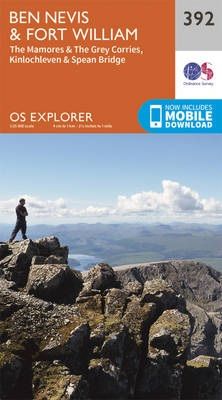
Conquer Ben Nevis the highest mountain in Britain and soak up the spectacular panoramic views of the Scottish Highlands from its peak. Explore the myriad of activities on offer in Lochaber the Outdoor Capital of the UK. The area is famous for its challenging walks, such as the Glennfinnan Viaduct trail, paid off with spectacular…
-
Sale!
€19,90 Original price was: €19,90.€5,97Current price is: €5,97.
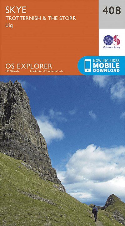
Map of Skye – Trotternish & The Storr – OS Explorer Map 408 (Uig) Gewicht: 60 g Verlag: Ordnance Survey UK Reihe: OS Explorer Maps Maßstab: 1:25.000 Medienart: Karten Sprache: Englisch EAN: 9780319246436 Erscheinungsjahr: 2015 Kontinent: Europa Land: Vereinigtes Königreich (Großbritannien) Bundesland / Provinz: Schottland Region: hebriden, skye, Innere Hebriden Orte / Berge / Seen:…
-
Sale!
€19,90 Original price was: €19,90.€5,97Current price is: €5,97.
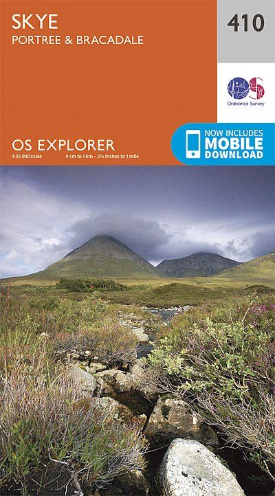
Gewicht: 100 g Verlag: Ordnance Survey UK Reihe: OS Explorer Maps Maßstab: 1:25.000 Medienart: Karten Sprache: Englisch EAN: 9780319246450 Kontinent: Europa Land: Vereinigtes Königreich (Großbritannien) Bundesland / Provinz: Schottland Region: skye
-
Sale!
€19,90 Original price was: €19,90.€5,97Current price is: €5,97.
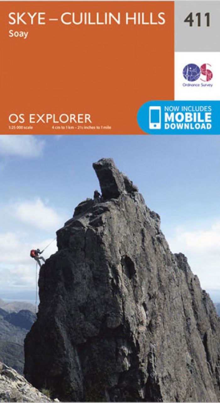
Gewicht: 131 g Verlag: Ordnance Survey UK Reihe: OS Explorer Maps Maßstab: 1:25.000 Medienart: Karten Sprache: Englisch EAN: 9780319246467 Erscheinungsjahr: 2015 Kontinent: Europa Land: Vereinigtes Königreich (Großbritannien) Bundesland / Provinz: Schottland Region: skye, Innere Hebriden Orte / Berge / Seen: Cuillin Hills, Soay, Sgùrr Alasdair, Blà Bheinn
-
Sale!
€19,90 Original price was: €19,90.€5,97Current price is: €5,97.
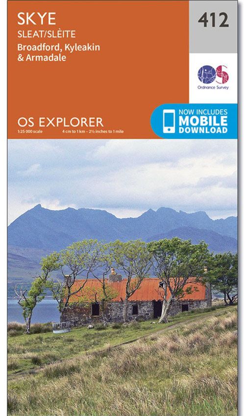
Gewicht: 186 g Verlag: Ordnance Survey UK Reihe: OS Explorer Maps Maßstab: 1:25.000 Medienart: Karten Sprache: Englisch EAN: 9780319246474 Kontinent: Europa Land: Vereinigtes Königreich (Großbritannien) Bundesland / Provinz: Schottland Region: hebriden, skye, Innere Hebriden Orte / Berge / Seen: Broadford, Sleat, Armadale, Kyleakin
