Showing 253–264 of 447 results
-
Sale!
€23,90 Original price was: €23,90.€7,17Current price is: €7,17.
The Atlaskort-series is the most extensive series of topographic maps ever published in Iceland. The entire country, from it’s highest peaks to it’s deepest fjords, is show in 31 stunning maps at the scale of 1:100.000. With a total of 43.000 place names the maps show the landscape of Iceland with astonishing detail. Atlaskort 16:…
-
Sale!
€23,90 Original price was: €23,90.€7,17Current price is: €7,17.
The Atlaskort-series is the most extensive series of topographic maps ever published in Iceland. The entire country, from it’s highest peaks to it’s deepest fjords, is show in 31 stunning maps at the scale of 1:100 000. With a total of 43.000 place names the maps show the landscape of Iceland with astonishing detail. Atlaskort…
-
Sale!
€23,90 Original price was: €23,90.€7,17Current price is: €7,17.
The Atlaskort-series is the most extensive series of topographic maps ever published in Iceland. The entire country, from it’s highest peaks to it’s deepest fjords, is show in 31 stunning maps at the scale of 1:100.000. With a total of 43.000 place names the maps show the landscape of Iceland with astonishing detail. Atlaskort 21:…
-
Sale!
€23,90 Original price was: €23,90.€7,17Current price is: €7,17.
The Atlaskort-series is the most extensive series of topographic maps ever published in Iceland. The entire country, from it’s highest peaks to it’s deepest fjords, is show in 31 stunning maps at the scale of 1:100.000. With a total of 43.000 place names the maps show the landscape of Iceland with astonishing detail. Atlaskort 22:…
-
Sale!
€23,90 Original price was: €23,90.€7,17Current price is: €7,17.
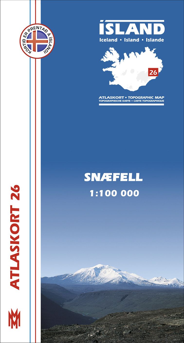
The Atlaskort-series is the most extensive series of topographic maps ever published in Iceland. The entire country, from it’s highest peaks to it’s deepest fjords, is show in 31 stunning maps at the scale of 1:100.000. With a total of 43.000 place names the maps show the landscape of Iceland with astonishing detail. Atlaskort 26:…
-
Sale!

€23,90 Original price was: €23,90.€7,17Current price is: €7,17.
Atlaskort – Topographic Map – Topographische Karte – Carte topographique Auflage: 2010The Atlaskort-series is the most extensive series of topographic maps ever published in Iceland. The entire country, from it’s highest peaks to it’s deepest fjords, is show in 31 stunning maps at the scale of 1:100.000. With a total of 43.000 place names the…
-
Sale!
€12,90 Original price was: €12,90.€3,87Current price is: €3,87.
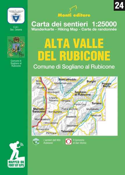
Verlag: Monti Editore – IGA Maßstab: 1:25.000 Medienart: Karten EAN: 9788894130645 Erscheinungsjahr: 2017 Kontinent: Europa Land: Italien Bundesland / Provinz: Emilia-Romagna Region: Romagna
-
Sale!
€12,90 Original price was: €12,90.€3,87Current price is: €3,87.
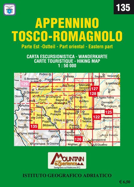
Verlag: Monti Editore – IGA Reihe: IGA 1:50.000 Maßstab: 1:50.000 Medienart: Karten Sprache: Italienisch EAN: 9788894005257 Erscheinungsjahr: 2008 Kontinent: Europa Land: Italien Bundesland / Provinz: Toskana Region: Romagna, Nördlicher Apennin Orte / Berge / Seen: Chiusi della Verna, Bagno di Romagna, Poppi, Stia
-
Sale!
€29,90 Original price was: €29,90.€8,97Current price is: €8,97.
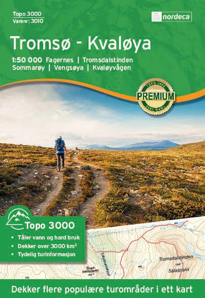
Hier geht’s zum der Nordeca-Karten. Topo 3000 ist eine detailreiche Karte, die über 3.000 km2 abdeckt. Sowohl das Nordlicht als auch die Mitternachtssonne sind gute Gründe, Tromsø zu besuchen, das von Bergen und Meer umgeben ist. Einige der schönsten Wanderziele in der Region sind Prestvannet, Telegrafbukta, Håkøytoppen, Rødtinden und Tromsdalstinden. Unternehmen Sie eine Wanderung in…
-
Sale!
€29,90 Original price was: €29,90.€8,97Current price is: €8,97.
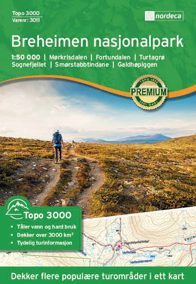
Hier geht’s zum der Nordeca-Karten. Topo 3000 ist eine detailreiche Karte, die über 3.000 km2 abdeckt. Das Gebiet eignet sich hervorragend zum Wandern, für Skiwanderungen, Gletscherwanderungen und Gipfeltouren, z. B. zum Tverrådalskyrkja. Im Nationalpark Breheimen liegt der Galdhøpiggen, Nordeuropas höchster Berg. Ziele: Mørkisdalen, Fortundalen, Turtagrø, Sognefjellet, Smørstabbtindane, Galdhøpiggen Gewicht: 64 g Verlag: Nordeca Reihe: Topo…
-
Sale!
€29,90 Original price was: €29,90.€8,97Current price is: €8,97.
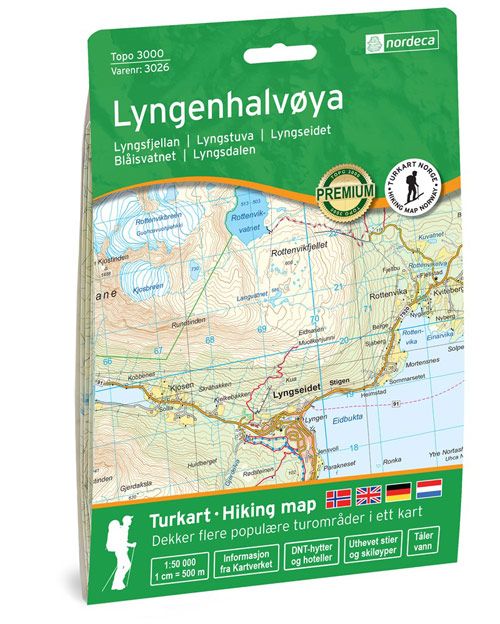
Hier geht’s zum der Nordeca-Karten. Topo 3000 ist eine detaillierte Karte mit einer Fläche von über 3000 km2. Zwischen dem Ullsfjord und dem Lyngenfjord liegt die Lyngen-Halbinsel, die für ihre hohen Gipfel, steilen Berghänge und engen Täler bekannt ist. Die Lyngen-Halbinsel ist ein guter Ausgangspunkt für ein abwechslungsreiches Naturerlebnis. Große Teile der Halbinsel sind geschützt…
-
Sale!
€31,90 Original price was: €31,90.€9,57Current price is: €9,57.
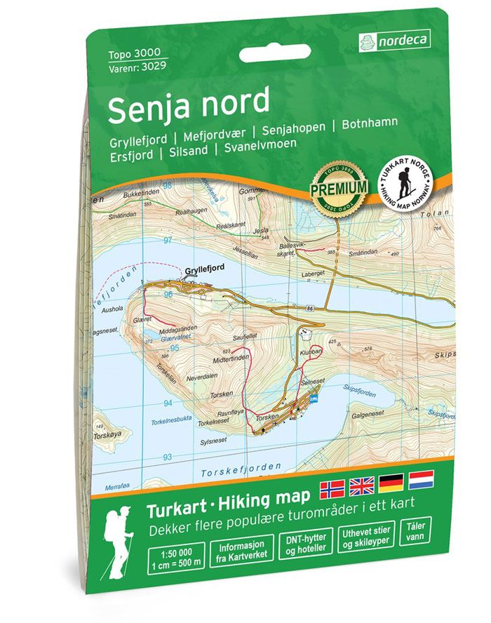
Hier geht’s zum der Nordeca-Karten. Destinations: Gryllefjord, Mefjordvær, Ersfjord, Senjahopen, Sommarøy, Senja, Kistefjellet, Silsand, Svanelvmoen, Botnhamn Gewicht: 69 g Verlag: Nordeca Reihe: Topo 3000 Maßstab: 1:50.000 Medienart: Karten Sprache: Englisch, Norwegisch EAN: 7046660030295 Erscheinungsjahr: 2020 Kontinent: Europa Land: Norwegen Bundesland / Provinz: Troms Region: Nordnorwegen, Senja
