Showing 13–24 of 447 results
-
Sale!
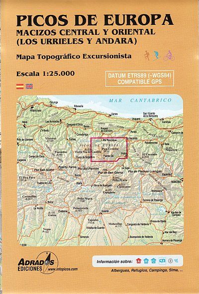
€14,90 Original price was: €14,90.€4,47Current price is: €4,47.
Gewicht: 74 g Verlag: Adrados Maßstab: 1:25.000 Medienart: Karten EAN: 9788493317782 Kontinent: Europa Land: Spanien Region: Picos de Europa
-
Sale!
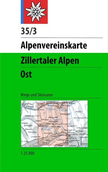
€11,50 Original price was: €11,50.€3,45Current price is: €3,45.
Hier geht’s zum der Alpenvereinskarten! Topographische Karte 1:25.000, mehrfarbig, mit Wegmarkierungen, Skirouten, Bushaltestellen, Schummerung, Felszeichnung, Gletscherdarstellung, Kennzeichnung der Klettersteige, UTM-Gitter.Gebiet: Vom Gerlospass im Norden bis St. Peter / Ahrntal im Süden. Vom Wirtshaus in der Au im Westen bis zur Dreiherrnspitze im Osten. Mit Gerlos, Krimml, Richterhütte, Plauener Hütte, Krimmler Tauernhaus, Lenkjöchlhütte.Karte in Kunststoffhülle (Polypropylen)…
-
Sale!

€10,90 Original price was: €10,90.€3,27Current price is: €3,27.
New and updated 2024 hiking map for Parnitha mountain in a scale 1:25.000. On the back of the map there are two zoomed maps in scale 1:10.000, for the area of Flampouri and Fyli. Parnitha is the ideal destination for a short walk or a small hike near Athens. Everyone who lives in Athens has…
-
Sale!
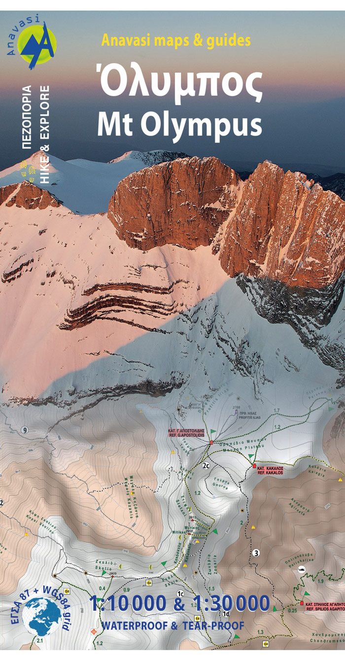
€11,90 Original price was: €11,90.€3,57Current price is: €3,57.
Olympus is the highest mountain in Greece and in ancient times it was considered worthy to be the house of the Gods. Olympus is a rock tower shaped by wind and rain directly of the seashore, its unique geography is perhaps the reason for the diversified and endemic flora. Inspired by its unique nature, we…
-
Sale!
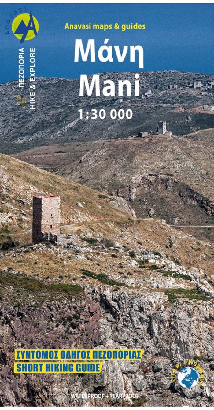
€10,90 Original price was: €10,90.€3,27Current price is: €3,27.
New 2022 hiking map for Mani in a scale of 1:30.000. Hiking map of Mani in scale 1:30 000, a wild and sparsely inhabited region. Past the fertile zones of Gythio and Itilo, the map will guide you to the arid part of the peninsula known as „Mesa Mani“ and as far as Cape Matapan…
-
Sale!
€10,90 Original price was: €10,90.€3,27Current price is: €3,27.
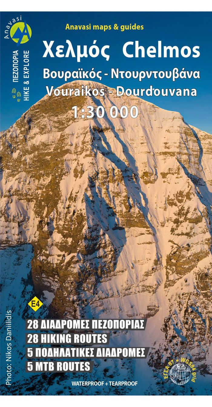
Hiking map for mount Chelmos in scale 1:30.000 Updated hiking map of Chelmos (or Helmos) in a scale of 1:30.000, the highest peak in Achaia (2355 m). The map covers the area in Northern Peloponnese from Lake Tsivlos and from the forests of Zarouchla to the gorge of the Styx; from the source of the river…
-
Sale!

€10,90 Original price was: €10,90.€3,27Current price is: €3,27.
Hiking map for Mainalo, Lousios, Farmakas and Artemisio mountains in a scale of 1:40.000 The Mainalo – Artemisio Hiking map is now available. Learning about Mainalo here. In scale of 1:40.000 and with an extra map of the lesser known mountains of Artemisio and Farmakas on the back of the map. The Menalon Trail route…
-
Sale!
€10,90 Original price was: €10,90.€3,27Current price is: €3,27.
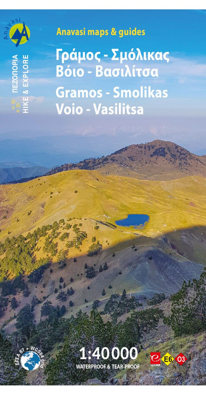
The hiking map of Gramos, Smolikas, Voio, Vasilitsa in scale 1:40.000 The highest peak is Tsuka Petsik with an altitude of 2520m. Gramos is the fourth highest mountain in Greece after Olympus, Smolikas and Voras. This map covers the region north of the Zagori up to the Albanian border. A mountainous landscape of alternating peaks…
-
Sale!
€8,90 Original price was: €8,90.€2,67Current price is: €2,67.
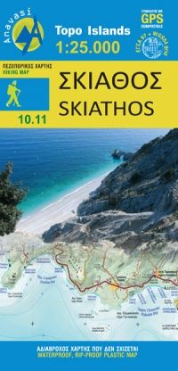
Known for its rich vegetation and beautiful coastline, Skiathos as the other two islands of the Sproradhes group have many other surprises in store for the traveler. With Anavasi map to guide you, discover the enchanting atmosphere of its monasteries, follow the paths to its chapels and antiquities, hidden valleys and secluded beaches. Some paths…
-
Sale!
€8,90 Original price was: €8,90.€2,67Current price is: €2,67.
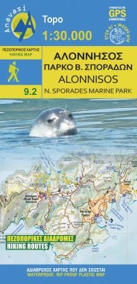
The new updated the map of Alonissos, depicts the 14 hiking trails and all the beaches of the island. On the back there is a map of the Marine Park of Sporades with its dozens of islets, the protection zones and archaeological sites. Also texts on the geography and history of Alonissos and the Marine…
-
Sale!

€10,90 Original price was: €10,90.€3,27Current price is: €3,27.
Inklusive Angaben zu Kletterspots in Xóbourgo Tinos island landscape is like a hand made embroidery. Rural huts, dovecotes, churches, terraces and villages are woven into a net of trails. The new map of Tinos offers a guided tour to the island’s man made countryside through a dozen of hiking routes. After several editions of the…
-
Sale!
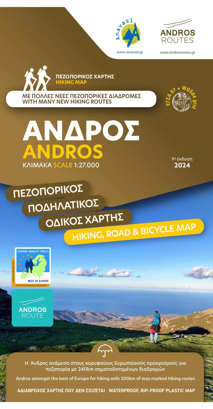
€9,90 Original price was: €9,90.€2,97Current price is: €2,97.
Hiking map of Andros at a scale of 1:27.000. A walking and cycling map of Andros at a scale of 1:27.000 has been published in collaboration with the local Andros Routes group which has undertaken the opening, maintenance and marking of the paths. Includes tables with all marked routes. On the map you will find…
