Showing 205–216 of 447 results
-
Sale!
€11,90 Original price was: €11,90.€3,57Current price is: €3,57.
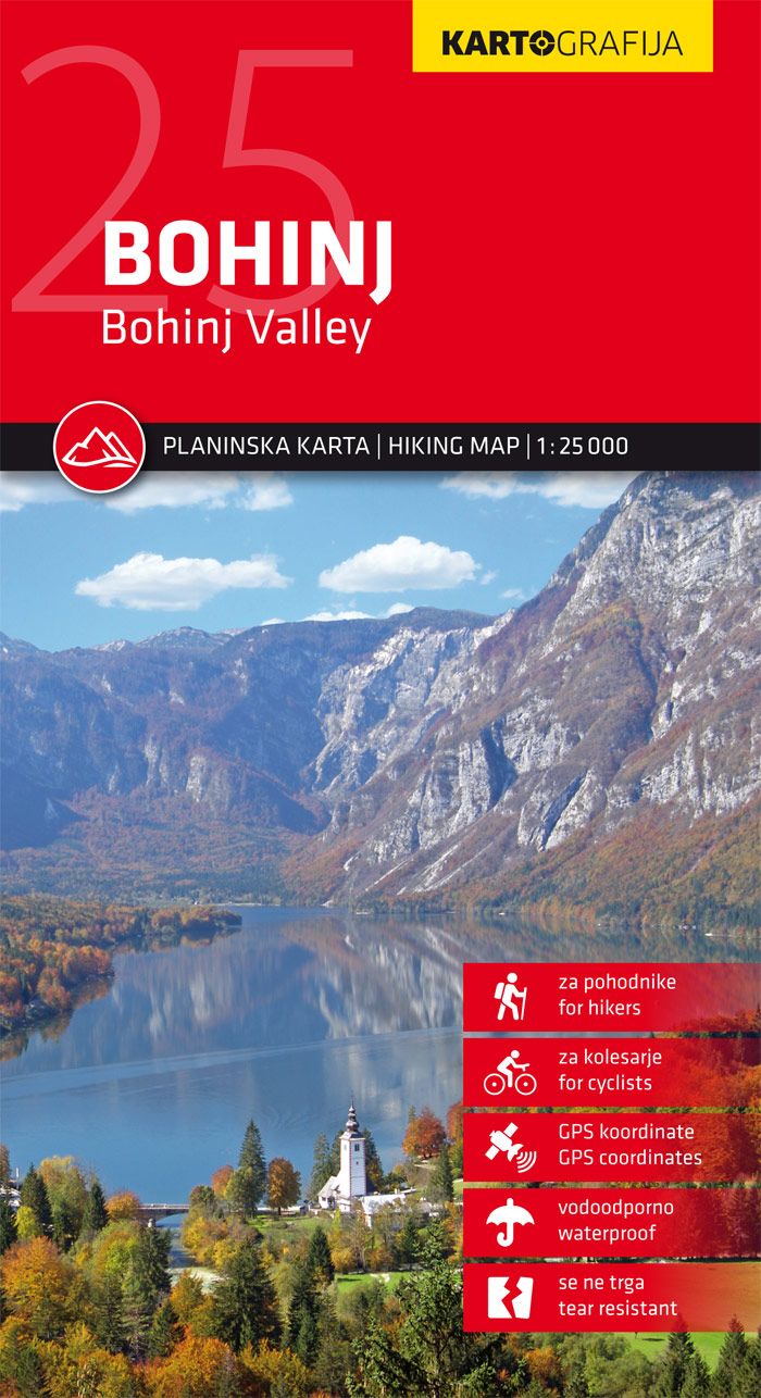
The mountain map of Bohinj in the scale of 1: 25.000 is intended for hike. The map is equipped with GPS coordinates, printed on a waterproof basis, it is very resistant and does not square! On the reverse side there is a tourist guide with descriptions of tourist attractions and mountain huts and photos. The…
-
Sale!
€11,90 Original price was: €11,90.€3,57Current price is: €3,57.
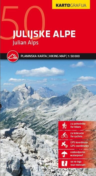
The mountain map of the Julian Alps in the scale of 1: 50.000 is intended for hikers. The map is equipped with GPS coordinates, printed on a waterproof basis, it is very resistant and does not square! On the reverse side there is information and photos of mountain huts. The map contains all information about…
-
Sale!
€11,90 Original price was: €11,90.€3,57Current price is: €3,57.
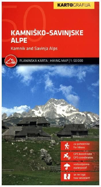
Hiking map of Mountains Kamniško Savinjske Alpe in scale 1:50.000 is supported with GPS cooridnates. The map is tear resistant and waterproof. Symbols indicate various types of accommodation including mountain huts, starting points, view directions, campsites, points of interests, information, cultural and historical sites, etc. Road network indicates locations of petrol stations. On the back…
-
Sale!

€11,90 Original price was: €11,90.€3,57Current price is: €3,57.
The mountain map of Karavanke in the scale of 1: 50.000 is intended for hikers. The map is equipped with GPS coordinates! It is very resistant, not square and waterproof! On the reverse side there is a tourist guide with descriptions of mountain huts in Slovene and English language. The map contains all information about…
-
Sale!
€11,90 Original price was: €11,90.€3,57Current price is: €3,57.
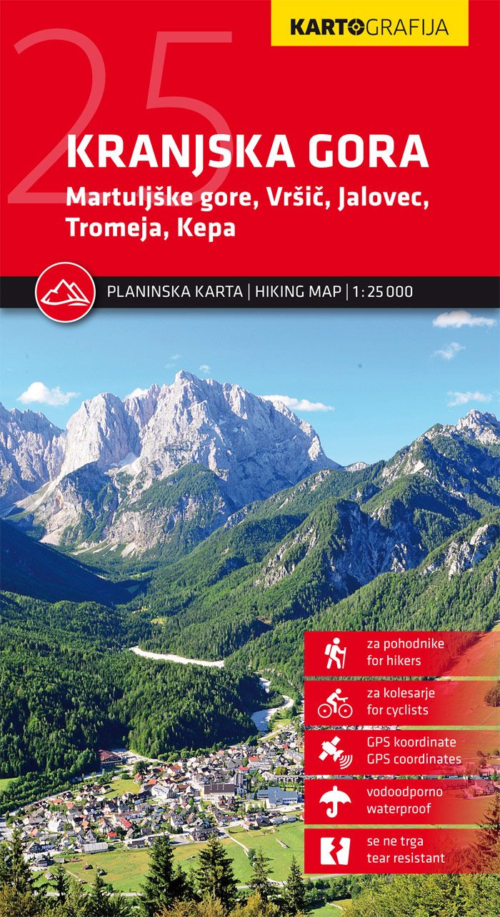
The mountain map of Kranjska Gora in the scale of 1: 25.000 is intended for mountaineers and hikers. The map is equipped with GPS coordinates, printed on a waterproof basis, it is very resistant and does not square!On the reverse side there is a tourist guide with descriptions of tourist attractions and mountain huts and…
-
Sale!
€4,90 Original price was: €4,90.€1,47Current price is: €1,47.
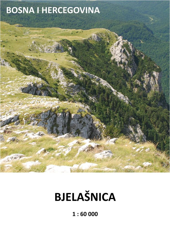
Mapa pokrývající pohoří Bjelašnica. Barevná s vyznačenými aktuálními v terénu značenými trasami. Měřítko 1:60.000 Gewicht: 18 g Autor: Michal Kleslo Verlag: Eigenverlag Michal Kleslo Reihe: Pamir7000-Wanderkarten Maßstab: 1:60.000 Medienart: Karten Sprache: Englisch, Tschechisch EAN: 9788090619531 Erscheinungsjahr: 2023 Kontinent: Europa Land: Bosnien und Herzegowina Bundesland / Provinz: Bosnisch-kroatische Föderation Region: Dinariden, Bosnien, Zentralbosnien Orte / Berge…
-
Sale!
€4,90 Original price was: €4,90.€1,47Current price is: €1,47.
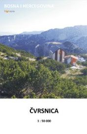
Mapa pokrývající pohoří Čvrsnica, Vran a plošinu Dugo polje. Barevná s vyznačenými aktuálními v terénu značenými trasami, doplněná fotografiemi. Měřítko 1:50.000 Gewicht: 16 g Autor: Michal Kleslo Verlag: Eigenverlag Michal Kleslo Reihe: Pamir7000-Wanderkarten Maßstab: 1:50.000 Medienart: Karten Sprache: Tschechisch EAN: 9788090619500 Erscheinungsjahr: 2015 Kontinent: Europa Land: Bosnien und Herzegowina Bundesland / Provinz: Bosnisch-kroatische Föderation Region:…
-
Sale!
€7,90 Original price was: €7,90.€2,37Current price is: €2,37.
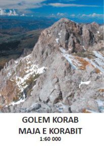
Mapa pokrývající pohoří Golemi Korab včetně přístupů z podhůří jak z albánské, tak z makedonské strany. Barevná s vyznačenými aktuálními v terénu značenými trasami, doplněná fotografiemi. Měřítko 1:60.000 Gewicht: 16 g Autor: Michal Kleslo Verlag: Eigenverlag Michal Kleslo Reihe: Pamir7000-Wanderkarten Maßstab: 1:60.000 Medienart: Karten Sprache: Tschechisch EAN: 9788090619548 Erscheinungsjahr: 2016 Kontinent: Europa Land: Albanien, Nordmazedonien…
-
Sale!

€8,90 Original price was: €8,90.€2,67Current price is: €2,67.
Mapa pokrývající uzel pohoří kolem hory Maglič, nejvyšší hory Bosny a Hercegoviny. Barevná s vyznačenými aktuálními v terénu značenými trasami, doplněná fotografiemi. Měřítko 1:33.000 Autor: Michal Kleslo Verlag: Eigenverlag Michal Kleslo Reihe: Pamir7000-Wanderkarten Maßstab: 1:33.000 Medienart: Karten Sprache: Tschechisch EAN: 9788090483293 Erscheinungsjahr: 2015 Kontinent: Europa Land: Montenegro, Bosnien und Herzegowina Bundesland / Provinz: Republika Srpska…
-
Sale!
€4,90 Original price was: €4,90.€1,47Current price is: €1,47.
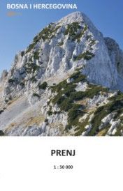
Mapa pokrývající pohoří Prenj, tzv. Bosenské Himaláje. Barevná s vyznačenými aktuálními v terénu značenými trasami, doplněná fotografiemi. Měřítko 1:50.000 Gewicht: 18 g Autor: Michal Kleslo Verlag: Eigenverlag Michal Kleslo Reihe: Pamir7000-Wanderkarten Maßstab: 1:50.000 Medienart: Karten Sprache: Tschechisch EAN: 9788090483255 Erscheinungsjahr: 2015 Kontinent: Europa Land: Bosnien und Herzegowina Bundesland / Provinz: Bosnisch-kroatische Föderation Region: Dinariden, Herzegowina,…
-
Sale!
€4,90 Original price was: €4,90.€1,47Current price is: €1,47.
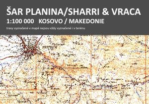
trasy vyznačené v mapě nejsou vždy vyznačené i v terénu Celobarevná mapa oboustranná, zobrazuje pohoří Šar i Vraca z kosovské i makedonské strany. Zakresleny turistické trasy a horské chaty. 1:100.000. Gewicht: 56 g Autor: Michal Kleslo Verlag: Eigenverlag Michal Kleslo Reihe: Pamir7000-Wanderkarten Maßstab: 1:100.000 Medienart: Karten Sprache: Tschechisch EAN: 9788090694002 Erscheinungsjahr: 2017 Kontinent: Europa Land:…
-
Sale!

€11,99 Original price was: €11,99.€3,60Current price is: €3,60.
Wanderkarte Südtiroler Weinstraße, Unterland, Strada del Vino, Bassa Atesina: Die Karte für Wandern, Fahrradfahren und viele weitere Aktivitäten in der Natur Kompass Wanderkarten sind einfach zu lesen und beinhalten trotzdem alle Informationen, die man für eine perfekte Wandertour, eine Fahrradrunde oder einen Ausflug benötigt. Sie bilden die Natur im passenden Maßstab ab. Unzählige zusätzliche Informationen…
